French Vintage Prints
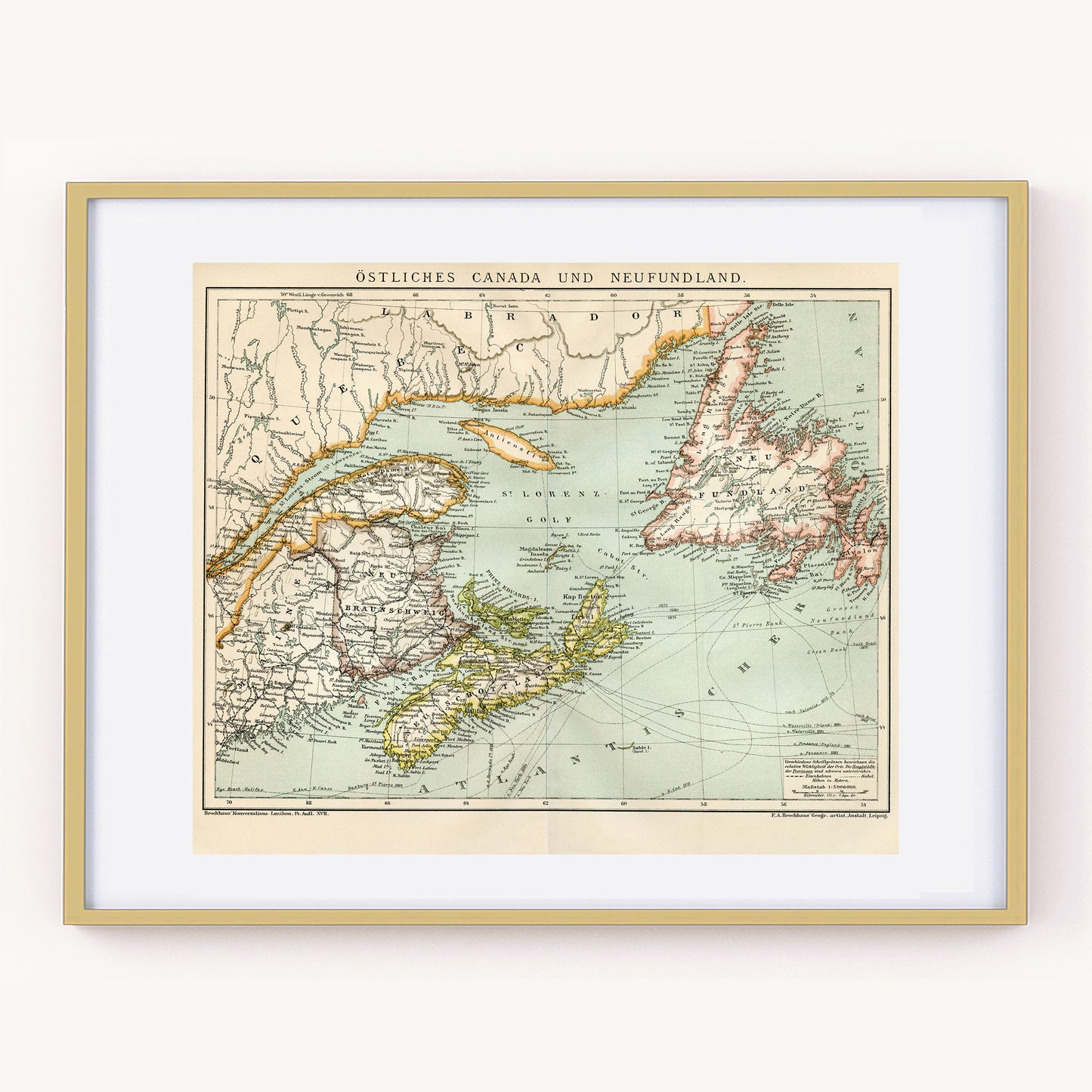
1894 Antique Eastern Canada map
1894 Antique Eastern Canada map
Couldn't load pickup availability
Materials
Materials
Paper
Dimensions
Dimensions
approx. 25.2 x 33.7 cm (9 7/8” x 13 1/4”)
RARE FIND! Fascinating little map of Eastern Canada extracted from a 1894 German Brockhaus dictionary. This fascinating page shows the Eastern part of Québec and the Saint-Lawrence gulf, Labrador, Newdoundland and New Brunshwig as they were at the end of the 19th century. It has no doubt changed since then but it's an excellent comparison point.
The legend is in German. The map was a center page so it's folded in half.
Frame it and gift it to your favorite Canadian geography lover.
SIZE: page approx. 25.2 x 33.7 cm (9 7/8” x 13 1/4”) folded, twice that unfolded, including margins, Image approx. 22,4 x 29.4 cm (8 3/4” x 11 1/2”).
AUTHENTICITY
What you will receive is an authentic dictionary page from 1894 that comes from a damaged volume. The paper is thick. The engraving is in very good condition. ONLY ONE IN STOCK!
SHIPPING
- Ships from Switzerland.
- The mat and frame are NOT included.