French Vintage Prints
1892 Antique Ardennes Map - France
1892 Antique Ardennes Map - France
Prix habituel
$39.00 USD
Prix habituel
Prix soldé
$39.00 USD
Prix unitaire
par
Taxes incluses.
Frais d'expédition calculés à l'étape de paiement.
Impossible de charger la disponibilité du service de retrait
Matériaux
Matériaux
Dimensions
Dimensions
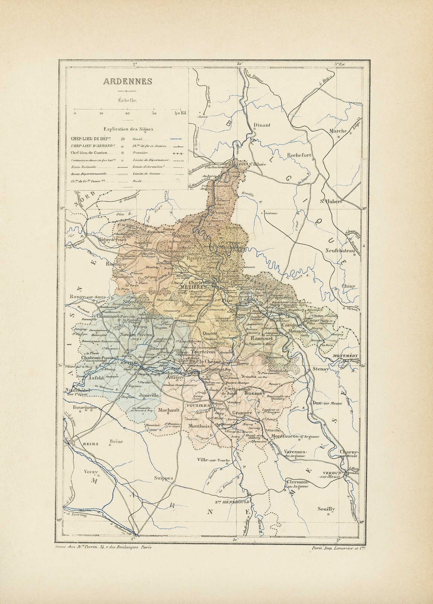
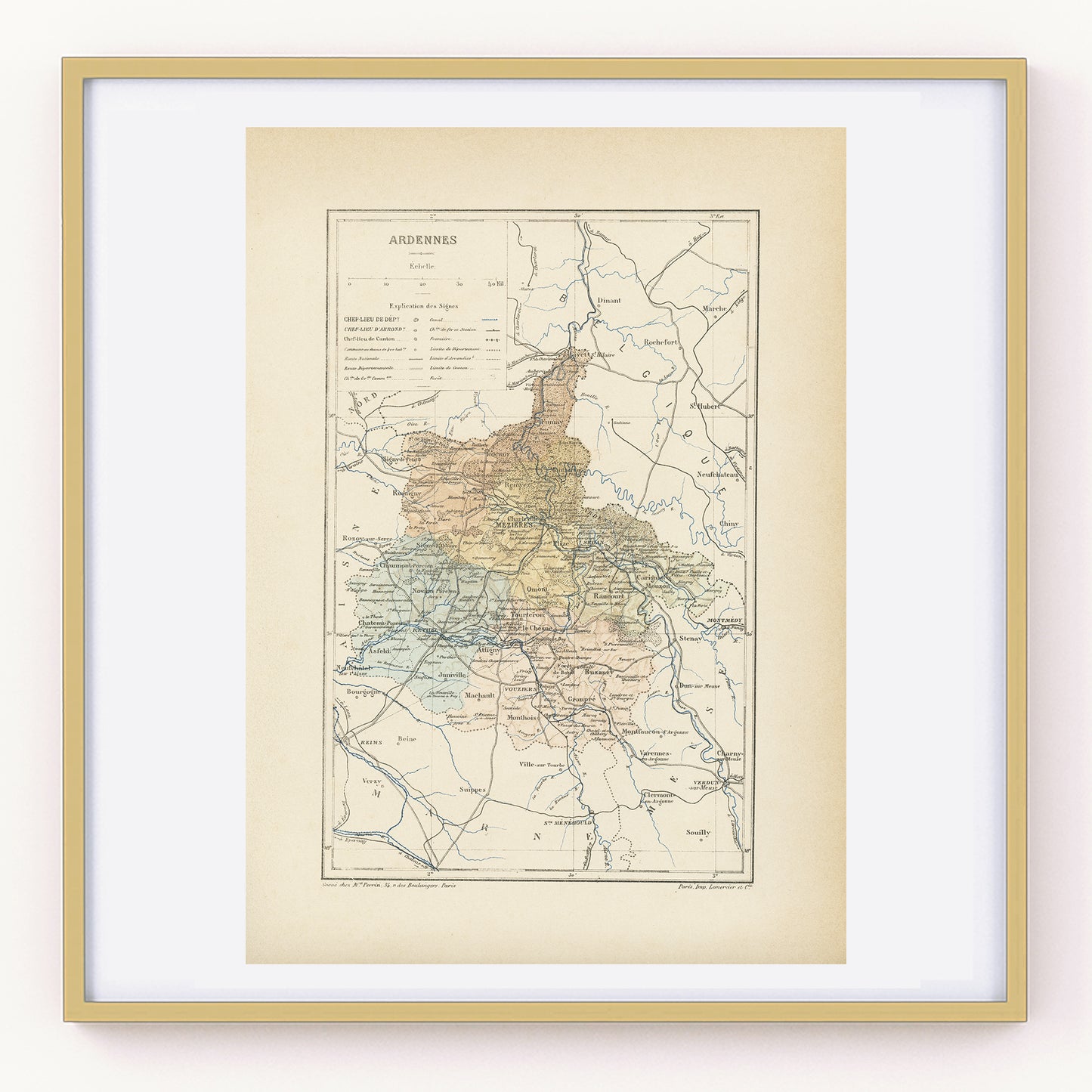
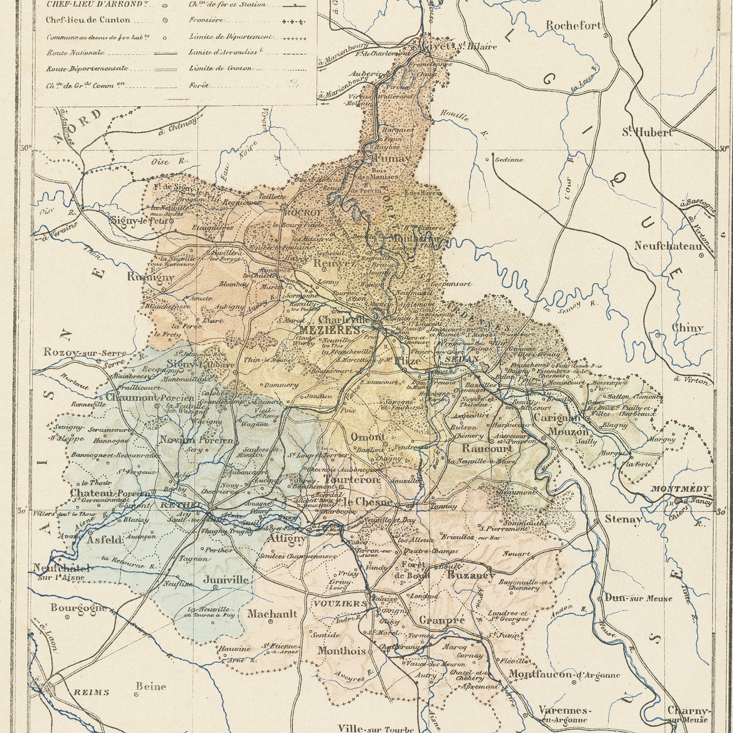
Gorgeous little engraving showing a delicately colorized map of a French department: the Ardennes department. Do you know where it is situated? As you may know, France is divided in 101 department. This one is in the East of France, along the Belgian border and it's prefecture (main administrative center) is the city of Charleville-Mézières.
The name of the department comes from the remnants of a mountain chain, now the plateau des Ardennes, irrigated by the Meuse river.
This book page comes from a damaged 1892 French Trousset dictionary. It is a lithograph and was engraved on thick paper.
SIZE : Page approx. 31 x 21.8 cm (12’’ 1/4 x 8’’ 1/2), margins included. Map approx. 23.5 x 15.2 cm (9’’ 1/4 x 6’’)
AUTHENTICITY L : You will receive an authentic dictionary page from 1892, which comes from a damaged volume. This is NOT a copy. The paper is yellowed, as befits its age but the map is in very good condition.
SHIPPING : Your prints ship in a cellophane bag and a cardboard-reinforced envelope. The mat and frame are NOT included.


