French Vintage Prints
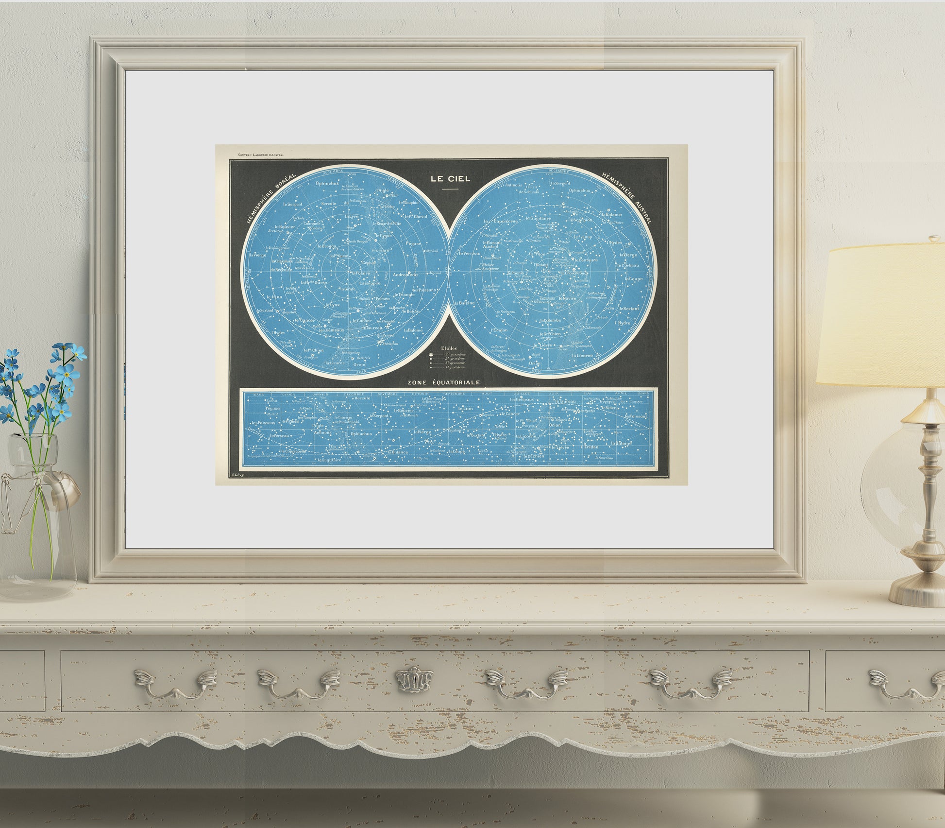
1897 Antique French map of the sky
1897 Antique French map of the sky
Couldn't load pickup availability
Materials
Materials
Paper
Dimensions
Dimensions
: page approx. 22 x 30 cm (8 1/2" x 11 3/4"), image approx. 20,3 x 27,4 cm (8" x 10 3/4").
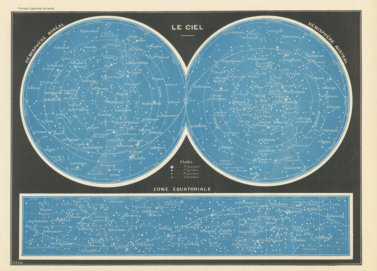
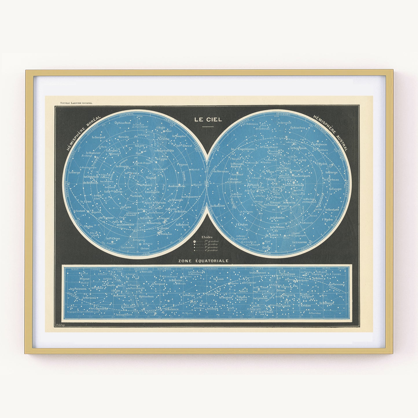
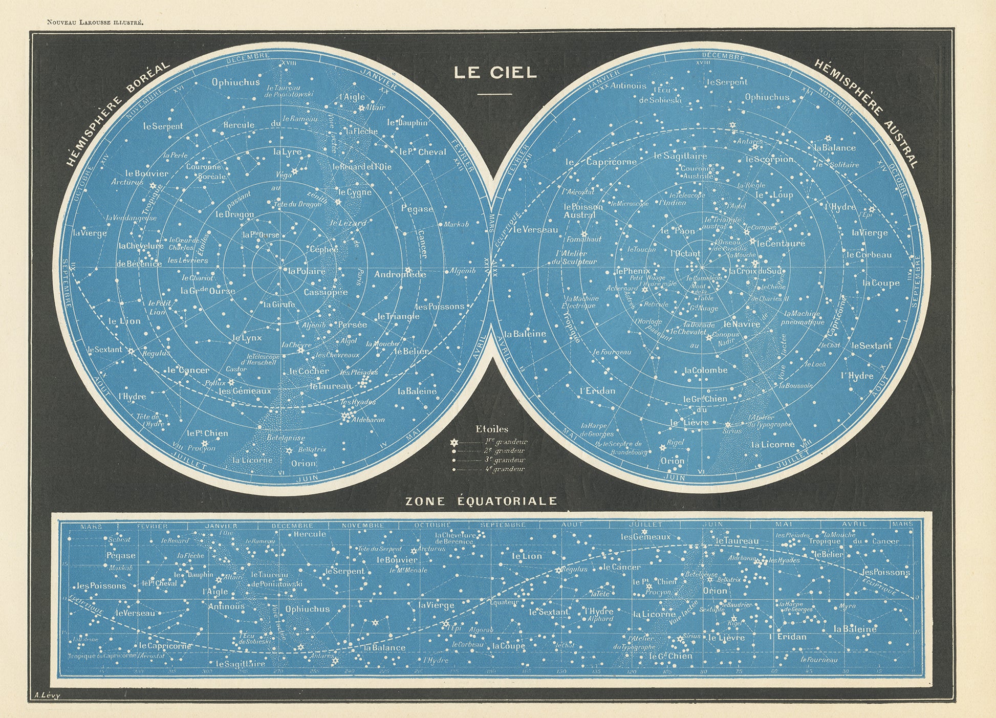
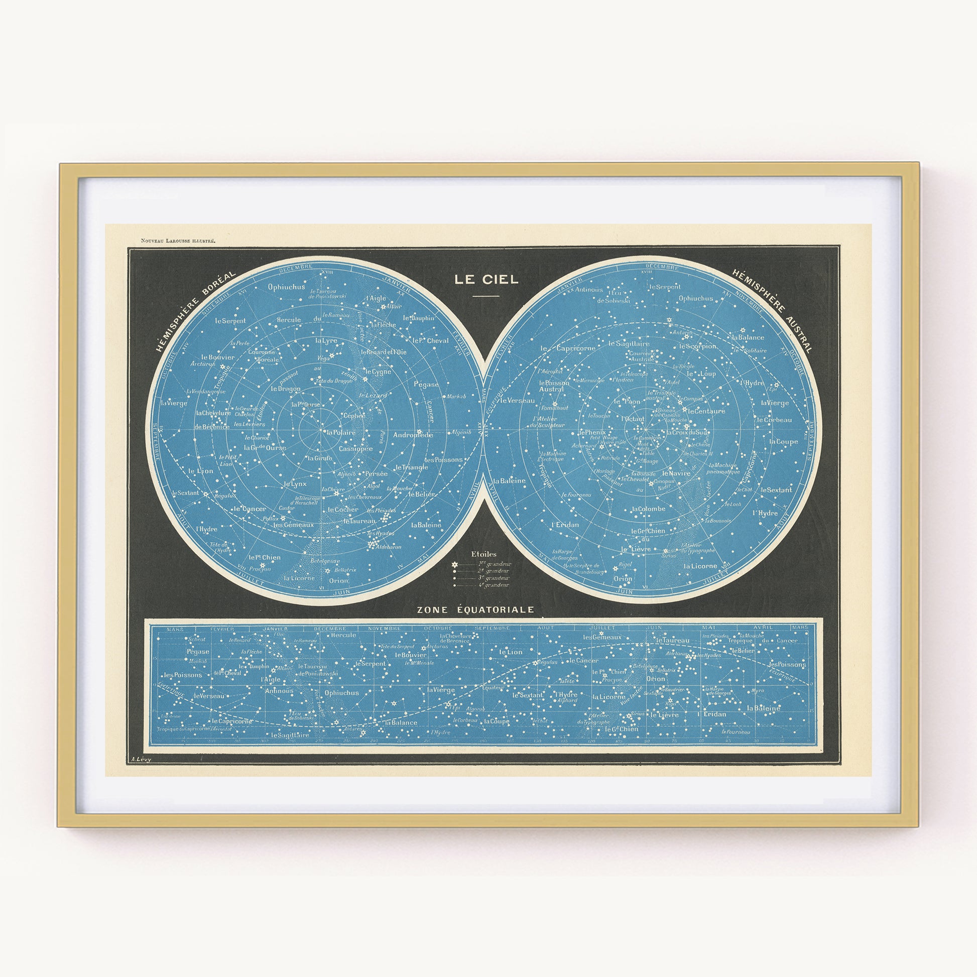
Lovely little map of the sky from 1897. This 1897 dictionary page shows a map of the stars and constellations in both the Northern and Southern hemispheres and in the equatorial zone.
This vintage stars map was extracted from a 1897 French Larousse dictionary. The outline of the Milky Way also appears on the maps.
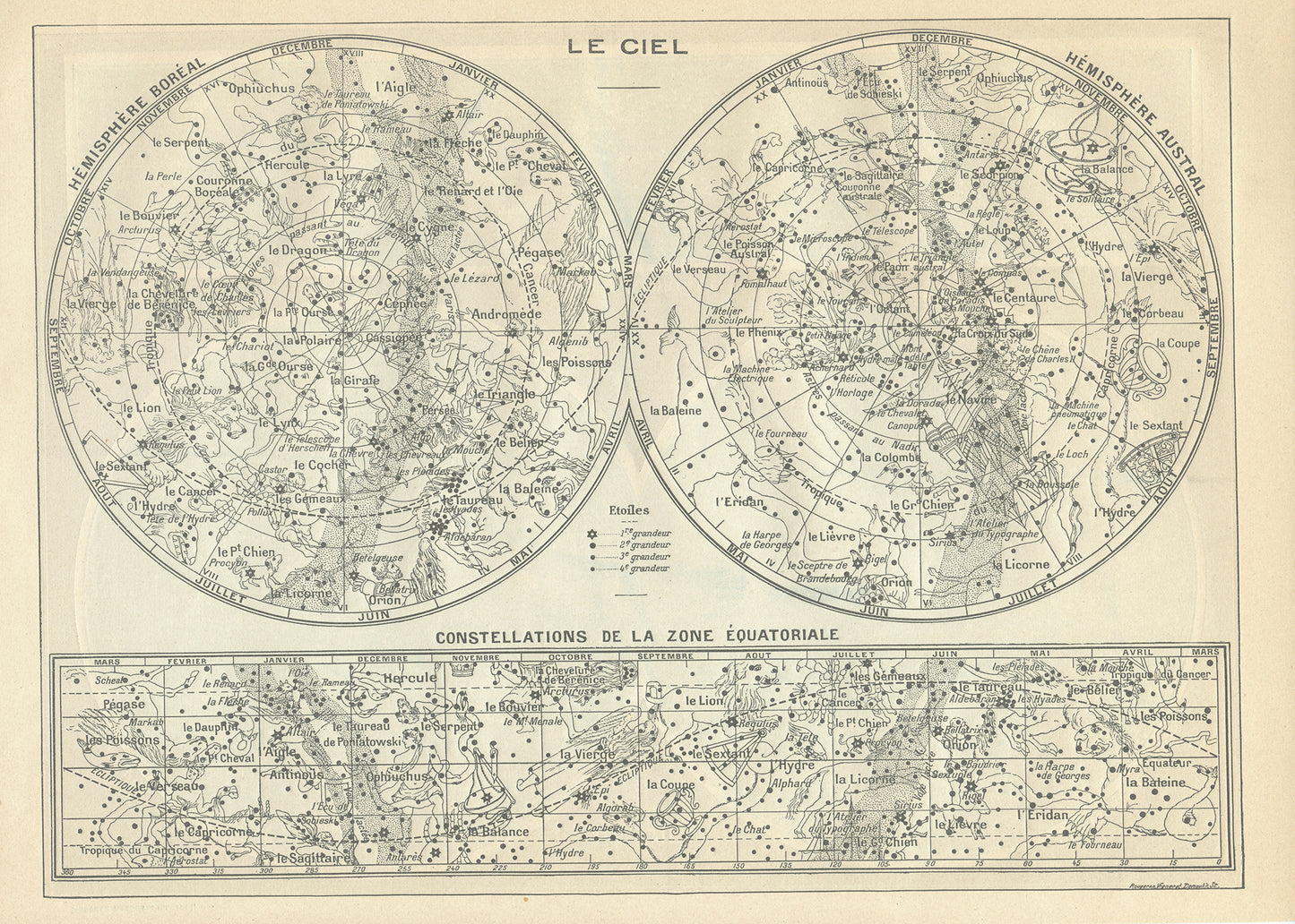
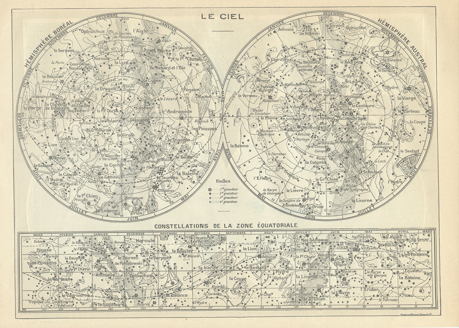
The reverse shows another sky map, this one in black and white, showing some illustrations of each constellation superimposed on the stars. There is, for example, a drawing of a winged horse next to the Pegasus constellation. This great map of the stars would be a perfect gift for your favorite astronomer !
SIZE : page approx. 22 x 30 cm (8 1/2" x 11 3/4"), image approx. 20,3 x 27,4 cm (8" x 10 3/4").
AUTHENTICITY : This is a genuine dictionary page from 1897 which comes from a damaged volume. The paper is slightly yellowed as befits its age but the images are in very good condition.
SHIPPING : your prints are sent in a sealed cellophane bag and a cardboard-reinforced envelope. The mat and frame are NOT included.
