French Vintage Prints
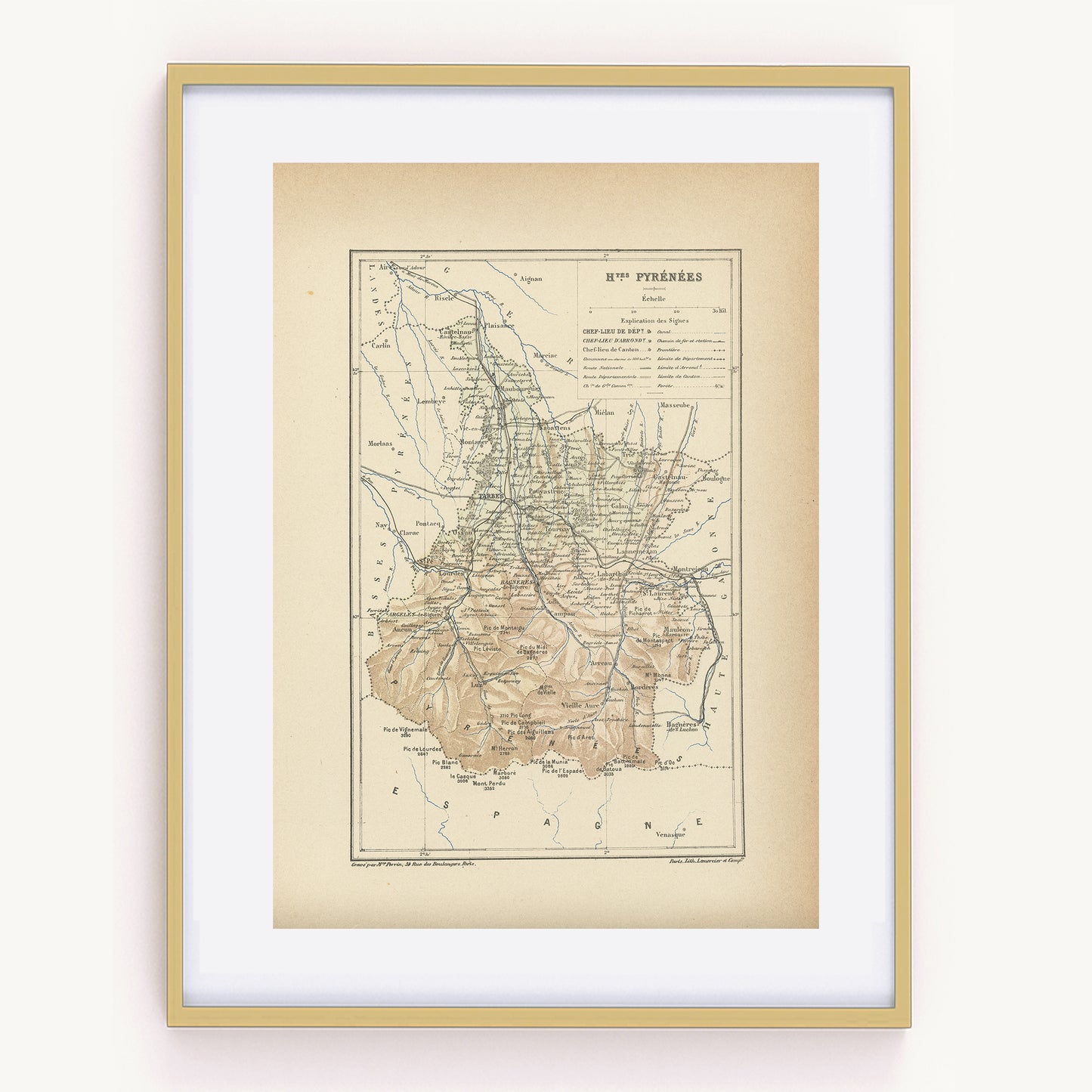
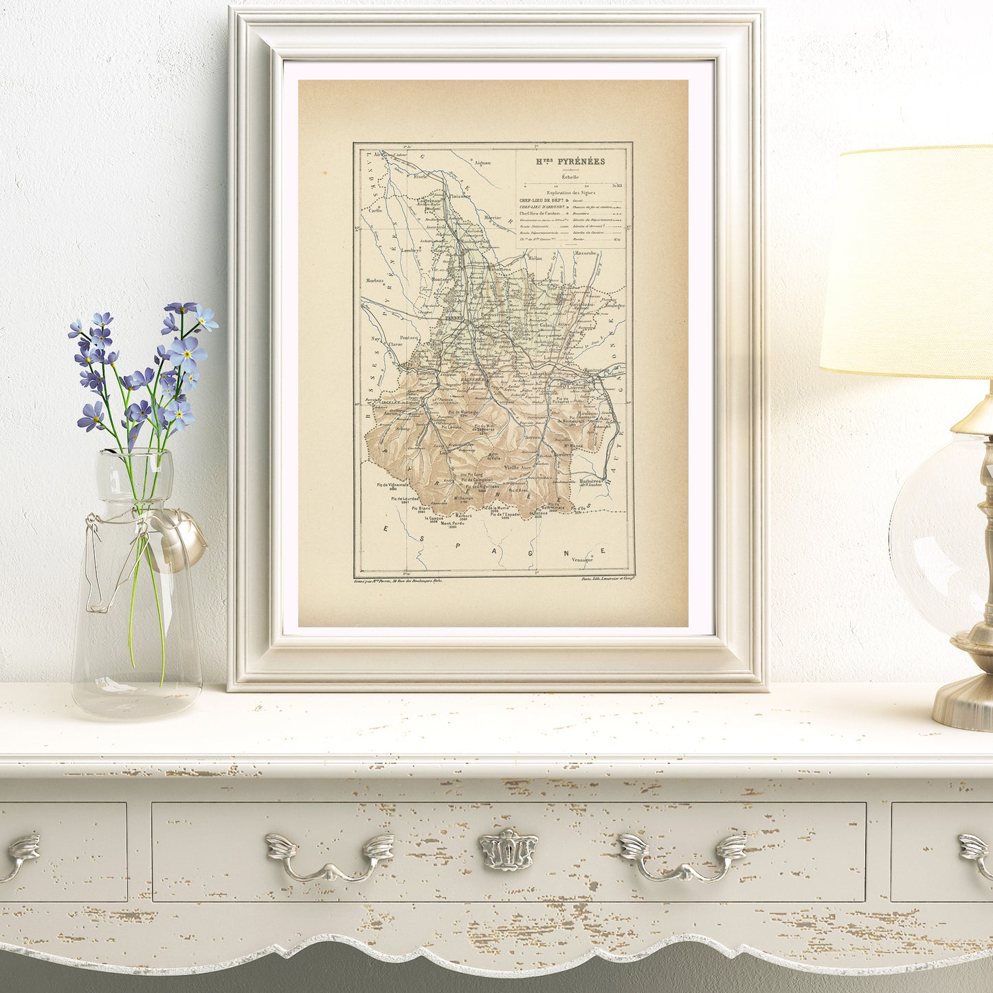
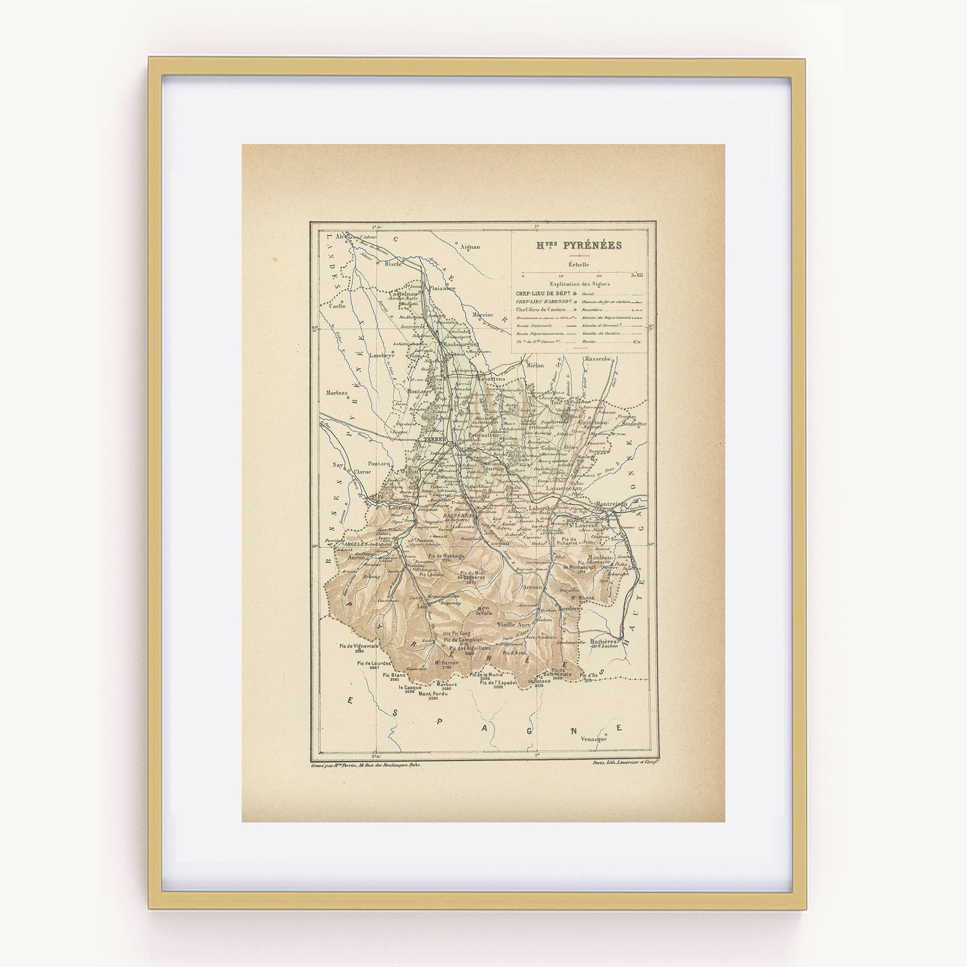
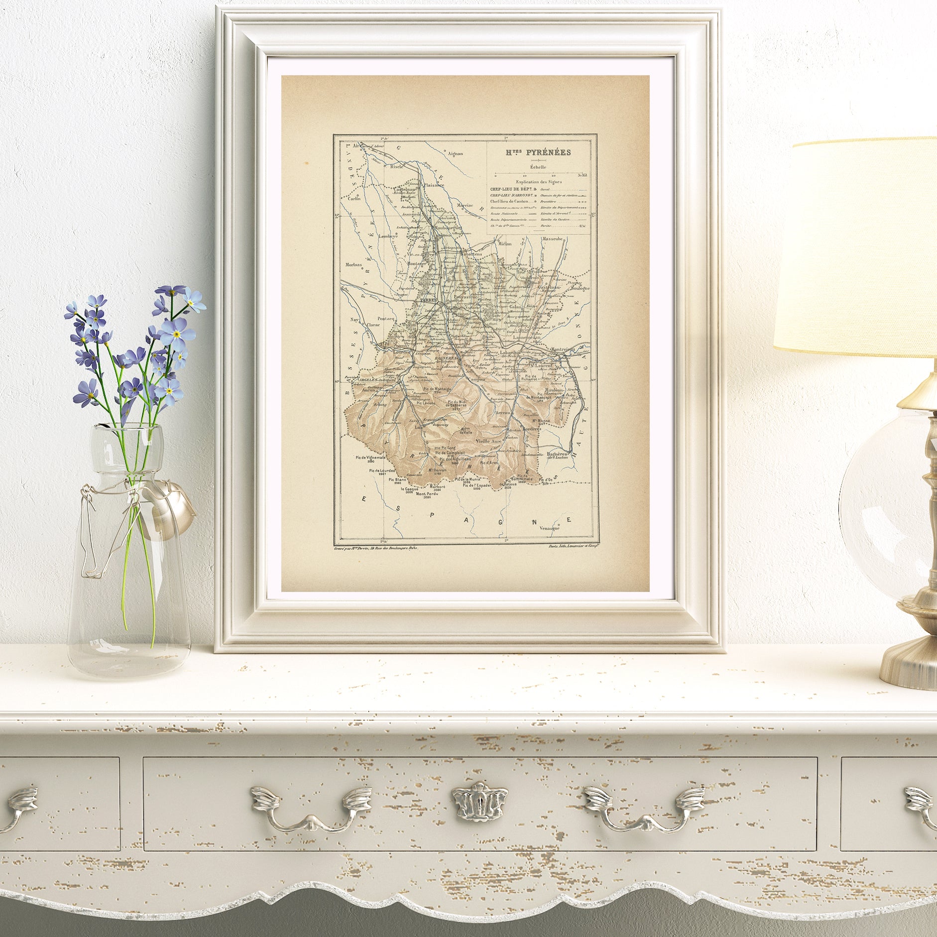
1892 Map of Hautes Pyrenees - France
1892 Map of Hautes Pyrenees - France
Regular price
$55.00 CAD
Regular price
Sale price
$55.00 CAD
Unit price
per
Tax included.
Shipping calculated at checkout.
Couldn't load pickup availability
Materials
Materials
Paper
Dimensions
Dimensions
Page approx. 31 x 21.8 cm (12’’ 1/4 x 8’’ 1/2), margins included. Map approx. 23.5 x 15.2 cm (9’’ 1/4 x 6’’)
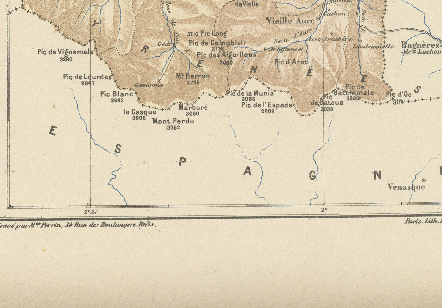
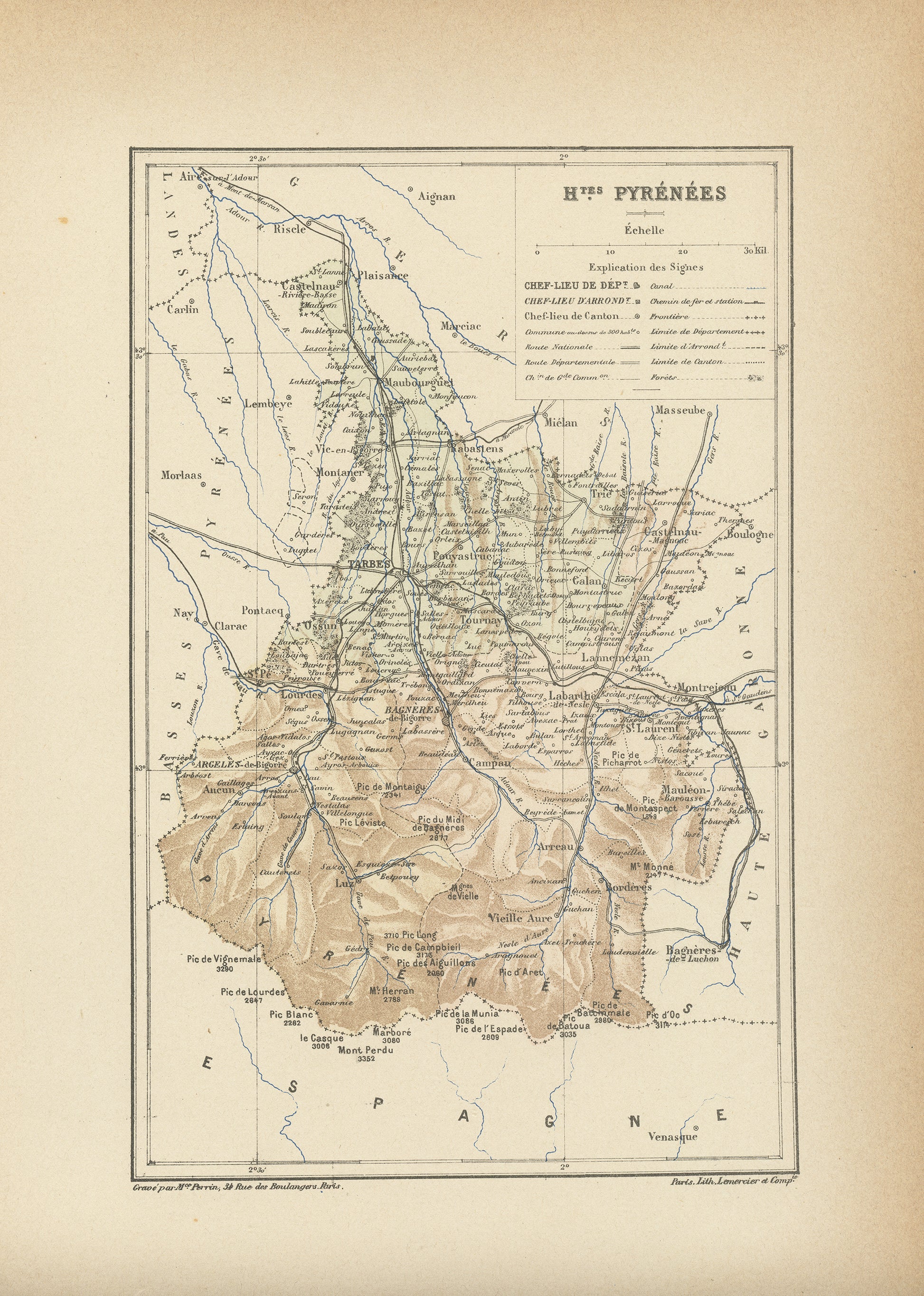
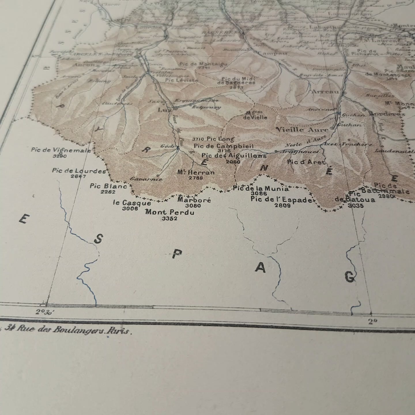
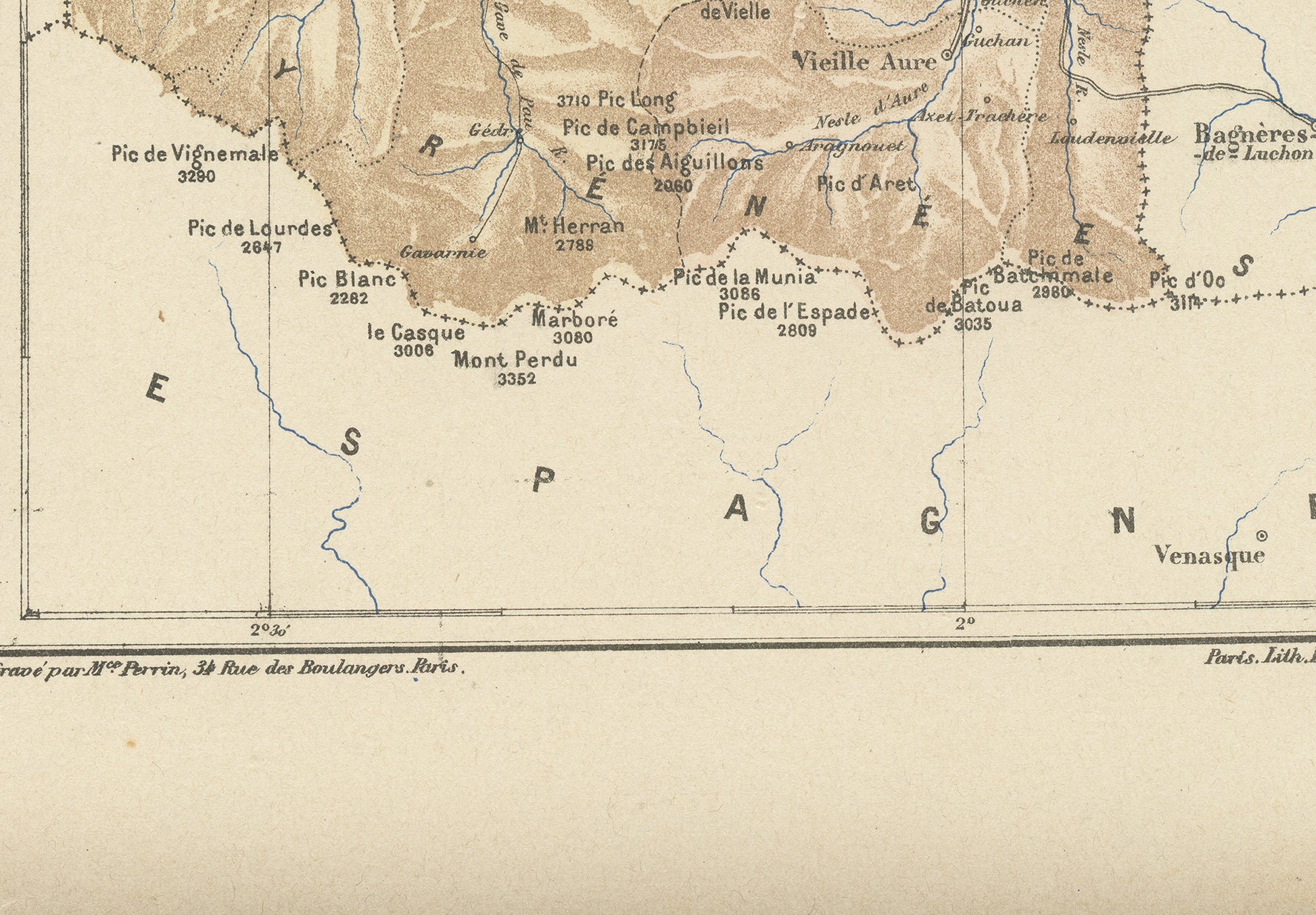
Gorgeous little engraving showing a delicately colorized map of a French department: the Hautes Pyrénées department. Do you know where it is situated? As you may know, France is divided in 101 department. This one is in the Southwest of France, on the Spanish border. It is a beautiful mountainous area, the Pyrénées range. The main city is Tarbes and it includes the world-famous pilgrimage town of Lourdes. The most famous summit is the Pic du Midid e Bagnères at 2877 m.
This dictionary page comes from a rare damaged 1892 French Trousset dictionary. It was engraved on thick paper. Under the map, there are in both bottom corners mentions of the company which engraved it (Paris Lith. Lemercier & Cie) and even of the person who did the actual engraving (Mce. Perrin, Rue des Boulangers 34 in Paris). Isn't that perfect?
-------
SIZE
-------
Page approx. 31 x 21.8 cm (12’’ 1/4 x 8’’ 1/2), margins included. Map approx. 23.5 x 15.2 cm (9’’ 1/4 x 6’’)
-------------------------
AUTHENTICITY
-------------------------
You will receive an authentic dictionary page from 1892, which comes from a damaged volume. The paper is yellowed, as befits its age but the map is in very good condition.
-----------------
SHIPPING
-----------------
Your prints will ship in a sealed cellophane bag and a cardboard-reinforced envelope. The mat and frame are NOT included.
ONLY ONE IN STOCK
View full details
This dictionary page comes from a rare damaged 1892 French Trousset dictionary. It was engraved on thick paper. Under the map, there are in both bottom corners mentions of the company which engraved it (Paris Lith. Lemercier & Cie) and even of the person who did the actual engraving (Mce. Perrin, Rue des Boulangers 34 in Paris). Isn't that perfect?
-------
SIZE
-------
Page approx. 31 x 21.8 cm (12’’ 1/4 x 8’’ 1/2), margins included. Map approx. 23.5 x 15.2 cm (9’’ 1/4 x 6’’)
-------------------------
AUTHENTICITY
-------------------------
You will receive an authentic dictionary page from 1892, which comes from a damaged volume. The paper is yellowed, as befits its age but the map is in very good condition.
-----------------
SHIPPING
-----------------
Your prints will ship in a sealed cellophane bag and a cardboard-reinforced envelope. The mat and frame are NOT included.
ONLY ONE IN STOCK